

Introducing the new onGEO Professional Certificate in Geospatial Data Analytics and Visualization
December 21, 2023
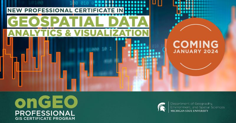
The onGEO group is proud to announce the official launch of our newest professional certificate offering. The online Geospatial Data Analytics & Visualization Certificate aims to advance the geospatial tools & technology skill-set of professionals currently working in fields that use geospatial technologies. It is also an excellent opportunity for anyone looking to revamp their current career, earn continuing education or teaching credits, or simply learn new and marketable skills.
The online Geospatial Data Analytics & Visualization Certificate consists of four (core) fully online courses that are each delivered in 7-week sessions. This means that a professional certificate can easily be earned in two semesters (if courses are taken one at a time) or faster (if courses are taken concurrently).
- Cartography (CART)
- Geovisualization: Temporal and Interactive Mapping (GTIM)
- Python and ArcPy Geoprocessing (PAPG)
- Spatial Statistics (SPST)
These core courses cover topics ranging from map design, interactive and temporal mapping, geovisualization, spatial data analytics, spatial statistics, geoprocessing, geospatial analysis, and much more. In addition to content-based modules, each course features a series of online labs designed to give students hands-on experience using geospatial technologies and improve technical competency.
Registration open for onGEO Session 124 (8 January to 23 February 2024)
In addition, registration is now open for the next session of online professional development courses. These courses can be taken to develop new skills, receive continuing education credits, or earn a Professional Certificate in GIS or Geospatial Data Analytics & Visualization, or both. Each certificate is earned by completing four core courses. Each of these non-credit core courses is 7 weeks long, and completed fully online. In addition, the MSU onGEO group offers several elective courses.
Session 124 Course Offerings (8 January to 23 February 2024)
GIS Certificate Core Courses:
Introduction to Geospatial Technologies (IGT)
Geographic Information Systems (GIS)
Remote Sensing (RS)
Geospatial Data Analytics & Visualization Core Courses:
Geovisualization: Temporal and Interactive Mapping (GTIM)
Elective Courses:
Digital Image Processing (DIP) (14 weeks)
Drones in the Field (DITF) (7 weeks)
FAA Part 107 Drone Test Prep & Beyond (FAA) (7 weeks)
The lab components of the GIS, Remote Sensing, Cartography, Criminal Justice Applications in GIS, Digital Image Processing, and Geovisualization courses use ArcGIS Pro.20
The price for core courses is $1000 per course. 7-week elective courses are $500. 14-week elective courses cost $1,000. Some discounts are available but must be requested before the first day of class.
More information: https://professional.ongeo.msu.edu/
Registration: https://commerce.cashnet.com/msu_3914