

News


Geo215, Sports Geography is New This Summer!
April 14, 2024
OnGEO at Michigan State University is thrilled to announce the launch of our newly created Sports Geography course (Geo 215v) for online delivery.

Introducing the new onGEO Professional Certificate in Geospatial Data Analytics and Visualization
December 21, 2023
The onGEO group is proud to announce the official launch of it's newest professional certificate offering. The online Geospatial Data Analytics & Visualization Certificate aims to advance the geospatial tools & technology skill-set of professionals currently working in fields that use geospatial technologies.

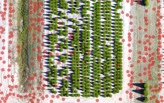
onGEO announces new drone course in collaboration with MSU's RS&GIS and Project GREEEN
April 24, 2023
Online Geography at Michigan State University (onGEO), a branch of the Department of Geography, Environment and Spatial Sciences, has announced the upcoming launch of a new course designed for those who wish to use drones as a mapping platform.
Drones in the Field is Here!
January 16, 2023 - onGEO
OnGEO and RS&GIS worked together to create a new course: Drones in the Fields: Open-source Solutions for Data Collection, Processing and Analysis.

New onGEO Geovisualization Course!
December 17, 2022 - onGEO
The onGEO program at Michigan State University is pleased to announce the launch of a newly created "Geovisualization: Temporal and Interactive Mapping" (GTIM) course, which is part of the Professional Certificate program.

Geo331, Geography of Canada is New!
October 11, 2022 - onGEO
New to our onGEO course line-up in Spring 2023, we will launch GEO 331: Geography of Canada.
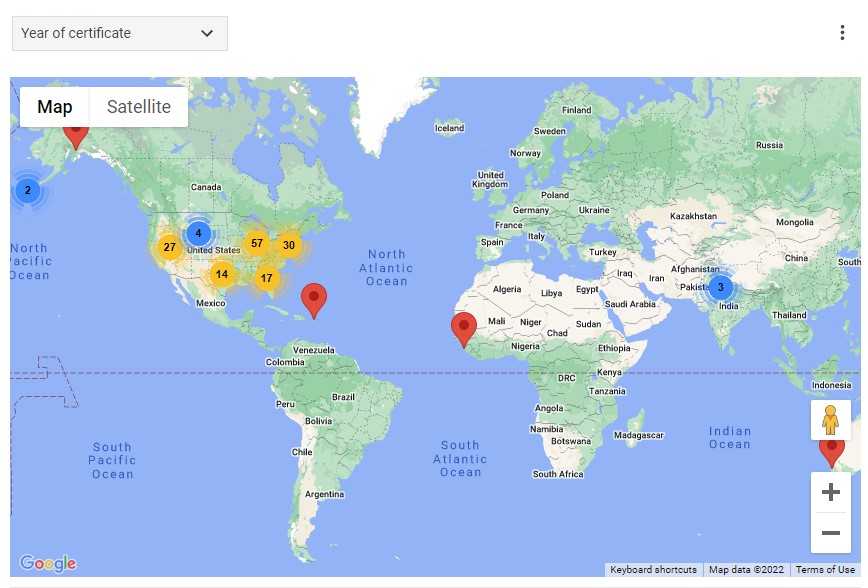
Map of onGEO Professional Students
August 26, 2022
Where in the world are our onGEO Professional students?

Overview of Professional Certificate in GIS
August 25, 2022
This video provides a quick overview of our Professional Certificate program.
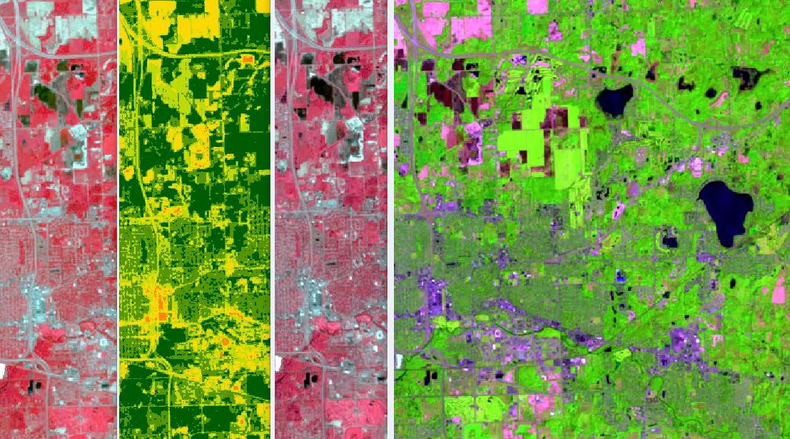
Digital Image Processing is New!
March 23, 2022 - onGEO
The onGEO program at Michigan State University is pleased to announce the launch of a newly created Digital Image Processing (DIP) course, which is part of the Professional Certificate program.

Geo 113v is Here!
March 1, 2022 - onGEO
onGEO is offering Introduction to Economic Geography (Geo 113v) again this Summer 2022.

Redesigned GEO 330v Explores the Regional Geography of the U.S.
August 24, 2020
The onGEO program at Michigan State University is pleased to announce the launch of a newly redesigned version of GEO 330v: Regional Geography of the United States.