

onGEO Summer Courses
March 8, 2024
We offer two 7-week long sessions of Undergraduate and Professional Certificate Courses over the summer.
Open enrollment for summer Undergraduate courses is underway. And, registration for summer Professional courses has already begun.
Undergraduate (for University credit) Courses
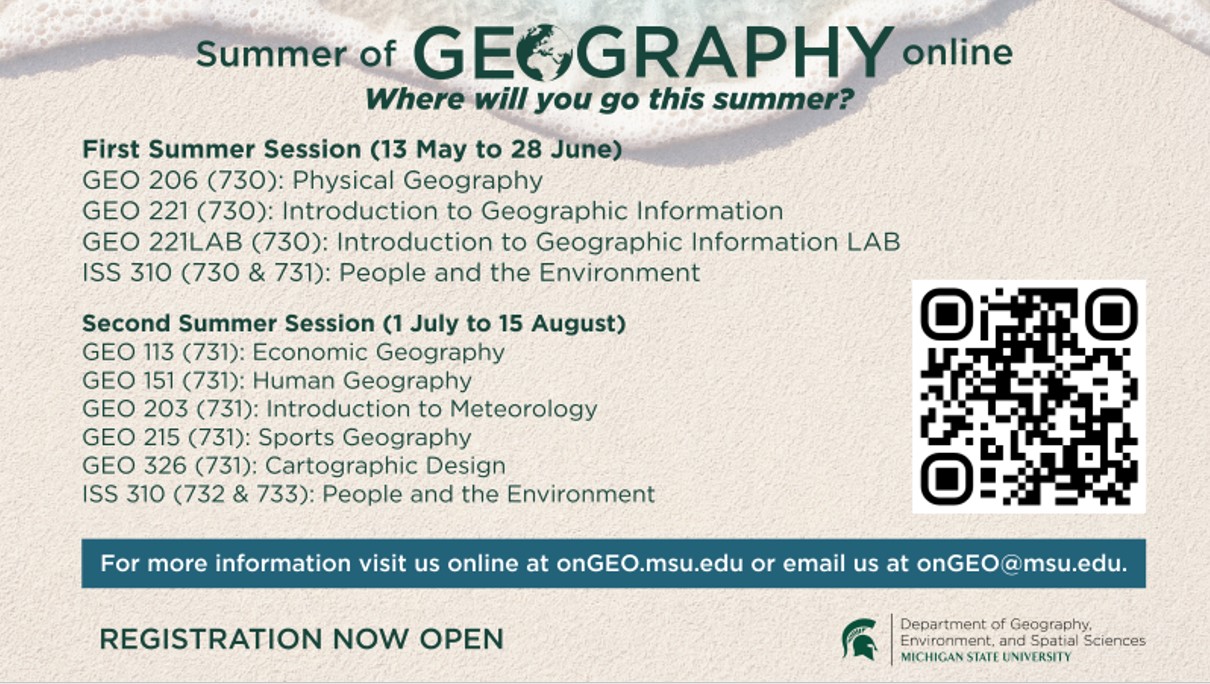
First Summer Session (13 May to 28 June)
- GEO 206 (730): Physical Geography
- GEO 221 (730): Introduction to Geographic Information
- GEO 221LAB (730): Introduction to Geographic Information LAB
- Iss 310 (730 & 731): People and the Environment
Second Summer Session (1 July to 15 August)
- GEO 113 (731): Economic Geography
- GEO 151 (731): Human Geography
- GEO 203 (731): Introduction to Meteorology
- GEO 215 (731): Sports Geography (**NEW**)
- GEO 326 (731): Cartographic Design
- Iss 310 (732 & 733): People and the Environment
In addition, onGEO’s undergraduate courses can be taken through the Lifelong Education program at Michigan State University and are eligible for continuing education clock-hour credits (with approval).
Ready to enroll? Enrolling in a credit course is easy whether you are a current MSU student or not. Let's get you started.
Professional (non-credit) Courses
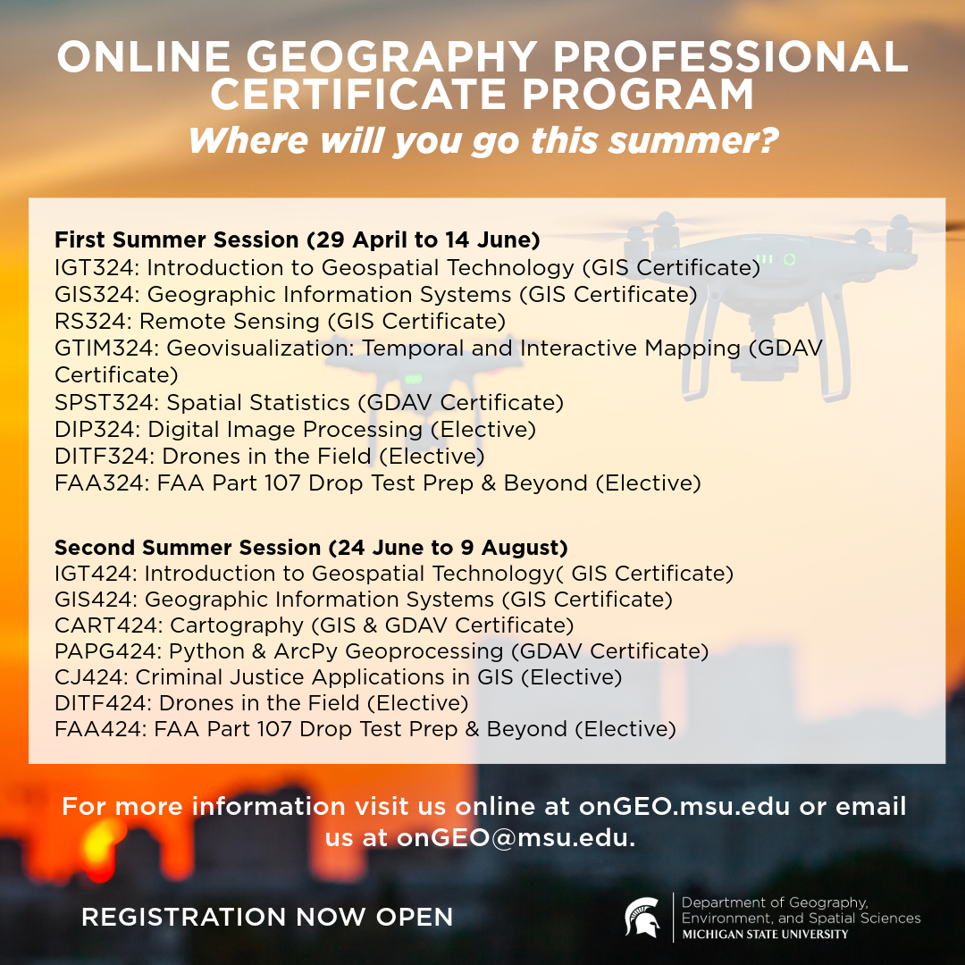
First Summer Session (29 April to 14 June)
- IGT324: Introduction to Geospatial Technology (GIS Certificate)
- GIS324: Geographic Information Systems (GIS Certificate)
- RS324: Remote Sensing (GIS Certificate)
- GTIM324: Geovisualization: Temporal and Interactive Mapping (GDAV Certificate)
- SPST324: Spatial Statistics (GDAV Certificate)
- DIP324: Digital Image Processing (Elective)
- DITF324: Drones in the Field (Elective)
- FAA324: FAA Part 107 Drop Test Prep & Beyond (Elective)
Second Summer Session (24 June to 9 August)
- IGT424: Introduction to Geospatial Technology( GIS Certificate)
- GIS424: Geographic Information Systems (GIS Certificate)
- CART424: Cartography (GIS & GDAV Certificate)
- PAPG424: Python & ArcPy Geoprocessing (GDAV Certificate)
- CJ424: Criminal Justice Applications in GIS (Elective)
- DITF424: Drones in the Field (Elective)
- FAA424: FAA Part 107 Drop Test Prep & Beyond (Elective)
These 7-week professional development courses can be taken individually or in combination (4) to earn a Professional GIS Certificate. This certificate aims to advance the skill set of professionals currently working in fields that use geospatial technologies. It is also an excellent opportunity for all professionals and others looking to revamp their current career, earn continuing-education or teaching credits, or simply further their education.
The certificate consists of four fully online courses: Introduction to Geospatial Technology, Geographic Information Systems, Remote Sensing, and Cartography with topics ranging from map design to ethics of geographic information, and much more. In addition to content-based units, each course features a series of online labs designed to give students hands-on experience using geographic information systems (GIS) and related technologies and improve technical competency.
Would you like to earn a Professional GIS Certificate and also earn credits? You can do that, too. Just register for the undergraduate versions of our professional courses: GEO 221v*, GEO 221LABv*, GEO 324v, GEO 325v, and GEO 326v*. *Offered during the summer.
Ready to register? Registering for a professional course is easy -- let's get started.
onGEO is a working group of the Department of Geography, Environment, and Spatial Sciences at Michigan State that develops and administers the Department’s online course offerings. To find out more, visit https://ongeo.msu.edu/.
Contact:
Yi Shi, onGEO @Michigan State University
onGEO@msu.edu