

Digital Image Processing is New!
March 24, 2022 - onGEO
A new fully online professional course, written by Dr. David Lusch (Professor Emeritus in MSU-GEO and MSU-RS&GIS), has been launched. Our Digital Image Processing course is designed to meet the digital imagery exploitation and analysis needs of a wide variety of GIS and remote-sensing personnel.
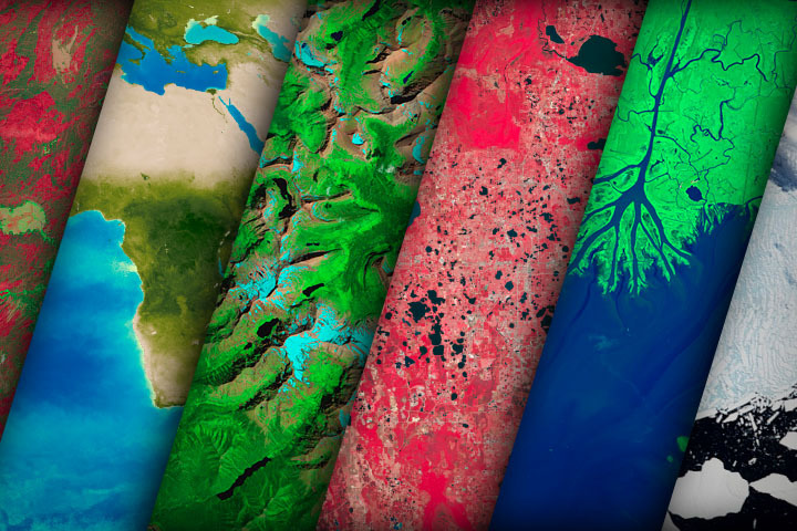
Course Description: Our course focuses on the extraction of land cover/use information from two commonly available image types: 4-band aerial orthoimagery and Landsat satellite imagery. The exercises will emphasize the no-cost imagery from the Thematic Mapper (TM), Enhanced Thematic Mapper Plus (ETM+), and Operational Land Imager (OLI) moderate-resolution imagers on the Landsat 5, 7, and 8 satellites, respectively, and the Multi-Spectral Instrument (MSI) sensor on the Sentinel-2 satellite. Digital orthoimagery from the U.S. Department of Agriculture NAIP Program will also be explored. The course introduces foundational terms and concepts through a series of lessons and then exercises written for ArcGIS Pro (and Google Earth Engine, optional) that give students the opportunity to apply and practice what they have learned.
Course Audience: Many GIS entities only use digital imagery as a backdrop for their point, line, and polygon data. This course is ideal for geospatial professionals who have a limited background in exploiting the information content of digital imagery within a GIS context.
Course Goals: This course builds the image interpretation and classification skills that GIS professionals need in order to extract land cover/use information from imagery in support of numerous activities such as general planning, environmental analyses, watershed management, and greenspace preservation to name just a few.
Course Offerings: We plan to offer the course each January, May, and August sessions.
Course Length: The course runs for 14-weeks, though it can be finished in less time if wanted.
Course Cost: $1000
Course Delivery: All course lessons and assessments are provided online via D2L. All lab data and applications are provided through a remote-server setup, so no applications need to be installed on your computer for the lab.